

Greetings from La Manga del Mar Menor: life between two seas
Greetings from La Manga del Mar Menor: life between two seas
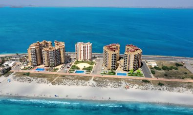
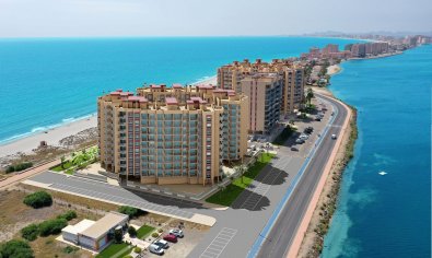
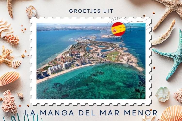
La Manga del Mar Menor is one of Spain's most unusual coastal landscapes. This narrow strip of land stretches for approximately 21 kilometres from Cabo de Palos towards Veneziola, separating the Mediterranean from the Mar Menor. In some places it is only a few hundred metres wide, allowing you to walk from one sea to the other within minutes.
That creates a lifestyle unlike almost anywhere else. The open Mediterranean lies on one side and the more sheltered Mar Menor on the other. You can even watch the sun rise over one body of water and set over the other.
More information and current listings can be found on the Casas Palmeras page for La Manga del Mar Menor.
How did La Manga form?
The Mar Menor was originally a bay open to the Mediterranean.
Over thousands of years, currents deposited sand and sediment between volcanic rock formations until the long sandy barrier of La Manga developed.
The lagoon was never completely sealed. Natural channels known as golas continue to connect it with the Mediterranean.
Today, the Canal del Estacio is the principal navigable connection between the two.
One destination, two municipalities
La Manga is not an independent municipality.
Its southern section belongs to Cartagena, while the northern section belongs to San Javier. The two municipalities cooperate through the La Manga Consortium on various public services.
This matters when buying property because homes only kilometres apart may fall under different municipal administrations.
Always check the precise location rather than relying only on the name La Manga.
Life by kilometre marker
Addresses along La Manga are frequently described by their kilometre position on the Gran Vía de La Manga.
This makes sense because the strip is extremely long and narrow.
Living around kilometre 3 provides a completely different experience from living near kilometre 12 or almost at the end around Veneziola.
For property buyers, the kilometre marker can therefore matter as much as the address itself.
The Mediterranean side
The eastern side faces the open Mediterranean.
Beaches include Galúa, Las Sirenas and Barco Perdido, together with numerous other stretches of sand.
This side generally feels more like an open sea, with more wave action and a very different swimming environment from the Mar Menor.
The Mar Menor side
Cross the narrow strip and everything changes.
The Mar Menor is much more sheltered and shallow. Banco del Tabal, Mistral, El Arenal and Veneziola are among the beaches on this side.
At Playa Mistral, for example, the depth increases gradually without sudden drops.
That makes many parts of the Mar Menor particularly attractive for families and water sports.
A water-sports destination
Sailing, windsurfing, kitesurfing, kayaking, paddleboarding and diving are all widely practised around La Manga.
The sheltered Mar Menor provides excellent conditions for many beginners, while the Mediterranean offers a completely different open-water experience.
Sailing schools, marinas and boat hire businesses make it easy to spend considerably more time on the water than simply lying beside it.
Puerto Tomás Maestre
At around kilometre 12 is Puerto Tomás Maestre, one of La Manga's main focal points.
Restaurants, shops and terraces surround the marina, making it a particularly pleasant place for dinner while watching the sun set over the Mar Menor.
The marina connects with the Mediterranean through the Canal del Estacio and provides around 1,800 berths.
You certainly do not need to own a boat to enjoy the atmosphere.
Estacio Bridge
The Puente del Estacio carries the Gran Vía across the canal.
It is a movable bridge designed to allow both road traffic and boats travelling between Puerto Tomás Maestre and the Mediterranean to pass.
Once across the bridge, the surroundings gradually become quieter as you travel towards the northern end.
Veneziola
Near the end of La Manga lies Veneziola, offering a noticeably calmer atmosphere than many central areas.
Its beach stretches for around 1.5 kilometres beside the Mar Menor and sits within a protected landscape.
An old salt mill also survives here, recalling the historic salt-production activities that once formed part of the local landscape.
The Laughter Bridge
Veneziola is also home to one of La Manga's quirkiest landmarks: the Puente de la Risa, or Laughter Bridge.
It was constructed as part of an ambitious plan to create a small residential Venice at the northern end of La Manga. The complete development was never realised, but the unusually steep bridge survived.
Driving over its pronounced arch produces the stomach-dropping sensation that gave the bridge its nickname.
La Manga before tourism
Until the middle of the twentieth century, La Manga was largely a landscape of dunes and Mediterranean vegetation.
Large-scale tourism development began during the 1960s, with Tomás Maestre playing a major part in transforming the area. Apartment towers, hotels and holiday developments rapidly changed the coastline.
This explains why La Manga looks so different from an old Mediterranean fishing village.
It is very much a product of Spain's twentieth-century coastal tourism boom.
The Mar Menor environment
The Mar Menor is also a fragile ecosystem that has suffered serious environmental problems in recent years. Scientific monitoring and major recovery programmes remain ongoing. Spain's environmental authorities continue to identify eutrophication as a specific issue affecting the lagoon.
Bathing areas are regularly tested during the swimming season. Published microbiological tests during the 2026 season met the legal bathing-water criteria at the monitored locations. Regional monitoring in August 2026 also reported stability in several key parameters while stressing that the ecosystem remains vulnerable and requires continued protection.
It is an important part of La Manga's story and worth discussing accurately.
Cabo de Palos nearby
At the entrance to La Manga is Cabo de Palos, a traditional coastal community with a fishing harbour, lighthouse, restaurants and small coves.
The surrounding waters and Cabo de Palos-Islas Hormigas marine reserve are particularly well known for diving.
Residents of southern La Manga often use Cabo de Palos almost as an extension of their own neighbourhood.
Wild nature at Calblanque
Close by is Calblanque Regional Park, providing almost the complete opposite of developed La Manga.
Unspoilt beaches, dunes, mountains and Mediterranean vegetation create a much wilder coastal landscape.
The walking route from Cala Reona towards Calblanque is one of the area's recommended ways to explore it.
Caldero and beach restaurants
The most characteristic local dish is caldero, the traditional fisherman's rice dish of the Mar Menor.
Fish, ñora pepper, garlic and rice form its distinctive base, while fried fish, seafood and Mediterranean dishes are also common around La Manga.
Beach bars are part of the experience too.
Few things feel more Mediterranean than finishing a day beside the water with dinner while the sun sets across the Mar Menor.
Summer versus winter
La Manga changes dramatically with the seasons.
July and August bring large numbers of visitors and second-home owners, increasing traffic and activity along the Gran Vía.
Outside the main holiday season, the atmosphere becomes far quieter. However, there is a permanent year-round population and the regional tourism authority emphasises that services and infrastructure remain available outside summer.
Anyone considering permanent living should ideally experience La Manga in both August and January.
Living in La Manga del Mar Menor
Living in La Manga del Mar Menor means choosing a lifestyle strongly centred on water and the outdoors.
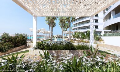
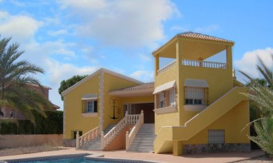
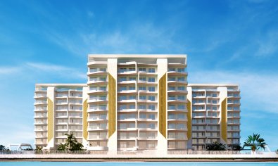
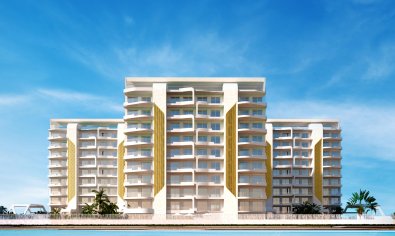
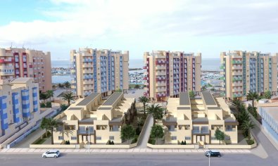
The property market includes apartments, penthouses, townhouses, detached villas and modern new-build developments. Sea views are naturally common, and beaches on both sides can be remarkably close.
For permanent residents, parking, nearby services, summer traffic and distance from the entrance to La Manga deserve just as much attention as the view.
Moving to La Manga
La Manga can be particularly appealing to people who want beaches, water sports and an international coastal community.
It is less suitable for someone dreaming of a compact historic Spanish town centred on an old square and church.
That does not make one option better than the other. It simply makes La Manga a very specific lifestyle choice.
Buying property in La Manga
When buying property here, we would start with the kilometre marker rather than the apartment.
Do you want easy access to Cabo de Palos and Cartagena? The marina atmosphere around Puerto Tomás Maestre? Or the quieter northern surroundings of Veneziola?
Next comes the choice between Mediterranean and Mar Menor orientation.
Only then would we compare the individual property, terrace, floor, parking, pool and other facilities.
Few places demonstrate quite so clearly how important exact location is.
Why La Manga del Mar Menor is worth discovering
La Manga will not appeal to everyone. It is long, busy during peak summer and architecturally very different from an old Spanish seaside village.
But there are few other places where you can walk to the Mediterranean in the morning, paddleboard on the Mar Menor in the afternoon and watch the sun set over the water at Puerto Tomás Maestre that evening.
Drive all the way to Veneziola and cross the Laughter Bridge and the geography becomes even more unusual.
Two seas, kilometres of beaches and a lifestyle almost entirely surrounded by water.
Greetings from La Manga del Mar Menor!